What can be achieved by adding a laser methane detection payload to a drone?
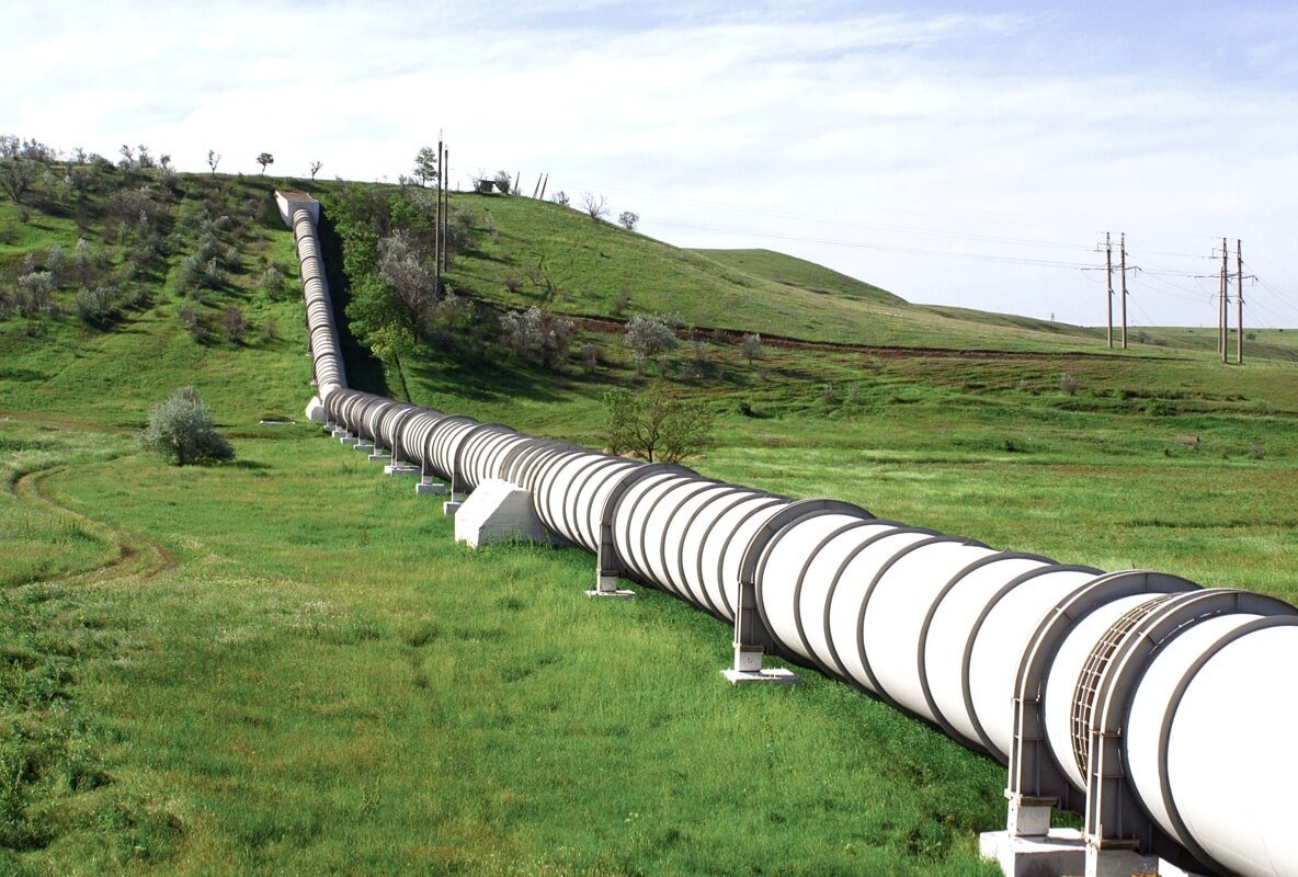
Natural gas is an essential part of our daily lives. However, the process of transporting natural gas from the source to its destination can be a hazardous process. Pipeline leaks are not uncommon and can cause severe damage to the environment and human health. Therefore, it is crucial to detect and repair leaks as soon as possible.
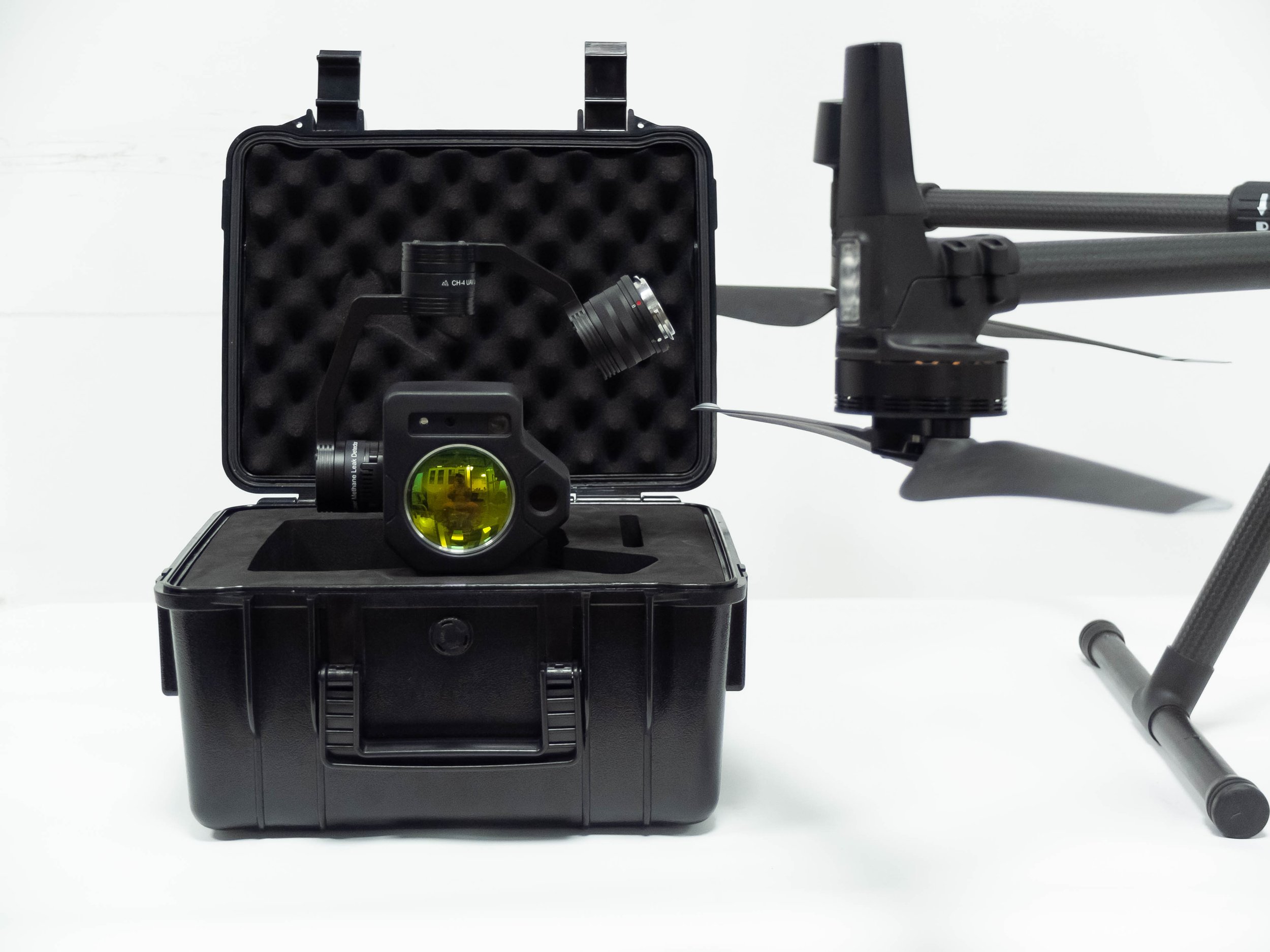
Fortunately, recent advancements in technology have made detecting pipeline leaks more efficient and accurate. The Drone with Me Laser Methane Leak Detector is one such technology that is revolutionizing the natural gas pipeline industry. In this article, we will discuss how this technology can help with natural gas pipelines.
What is the Drone with Me Laser Methane Leak Detector?
The Drone with Me Laser Methane Leak Detector is a cutting-edge drone technology that is specifically designed to detect methane leaks in natural gas pipelines. It is equipped with an innovative CH4 laser sensor that can detect even the smallest leaks in pipelines, making it a highly effective tool for the early detection of leaks.
How does it work?
The Drone with Me Laser Methane Leak Detector works by flying over the pipeline while scanning the ground with its CH4 laser sensor. The sensor detects any methane gas in the air, and the drone’s camera records the location and size of the leak. The data collected by the drone is then sent to a ground-based computer, where it is analyzed and processed.
What are the benefits of using the Drone with Me Laser Methane Leak Detector?
There are several benefits to using the Drone with Me Laser Methane Leak Detector, including:
1 Early detection of leaks: The Drone with Me Laser Methane Leak Detector can detect even the smallest leaks in pipelines, allowing for early detection and repair. This helps prevent major environmental damage and ensures the safety of nearby communities.
2 Increased efficiency: The drone technology is more efficient than traditional leak detection methods. It can cover a larger area in a shorter amount of time, making it a more effective way to inspect pipelines.
3 Reduced costs: The use of the Drone with Me Laser Methane Leak Detector can significantly reduce costs associated with leak detection. Traditional leak detection methods often require the use of multiple personnel and equipment, which can be costly. The drone technology can be operated by one person and does not require any additional equipment.
4 Improved safety: The Drone with Me Laser Methane Leak Detector allows for safer leak detection. It eliminates the need for personnel to physically inspect the pipeline, which can be dangerous.
The Drone with Me Laser Methane Leak Detector is an innovative technology that is changing the way natural gas pipelines are inspected. Its ability to detect even the smallest leaks makes it a highly effective tool for the early detection of leaks. This helps prevent environmental damage, ensures the safety of nearby communities, and reduces costs associated with leak detection. The use of this technology is a significant step towards ensuring the safe and efficient transport of natural gas.
Details about Prophet Multi-gas Detector
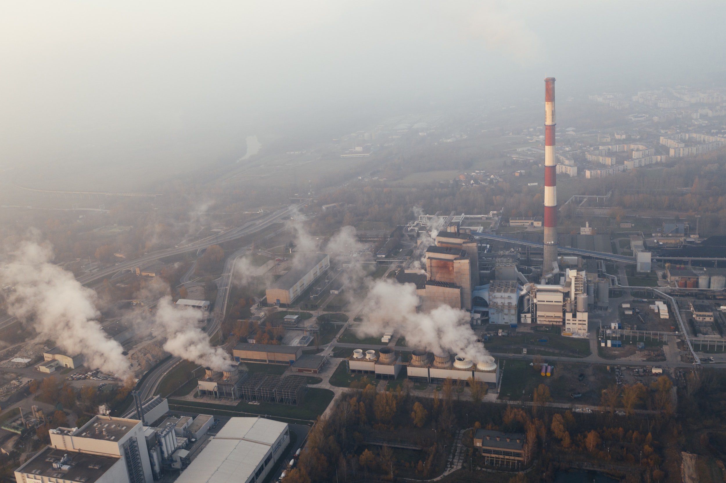
With the increasing number of construction sites in the city, coupled with the windy and dry climate in spring, the dust content in the air is large, which not only affects the appearance of the city but also makes us suffer from dust pollution when we travel.
With the increasing number of construction sites in the city, coupled with the windy and dry climate in spring, the dust content in the air is large, which not only affects the appearance of the city, but also makes us suffer from dust pollution when we travel.
Dust does not directly hurt people, but the respiratory tract and eyes, and other organs can cause great harm. Particle size greater than 10 microns of dust in the air for a short period of time, in the respiratory effect, can be effectively blocked on the respiratory tract, not into the alveoli, but because the wood dust contains wood tar, this material consists of a variety of phenols and hydrocarbons, and contains carcinogenic substances, in the long run, workers will be part of bronchitis, asthma and emphysema, and even cancer. Wood powder with particle size less than 10 microns will directly enter the human lung tissue and precipitate in the alveoli, which may cause chronic fibrosis of lung tissue and even lead to a series of lesions such as pulmonary heart disease and cardiovascular disease. And these respirable substances will also bring a variety of pollutants or germs into the lungs, which is very harmful to the human body. Dust can cause injury and affect normal operations if it bounces or flies into a person's eyes. In addition, wood dust is also one of the most dangerous flammable items and can easily cause fires. The Prophet DJI M300 Multi Gas Detector is designed for UAV atmospheric environment monitoring and design of a product, through the configuration of high-precision a variety of intelligent gas sensors, it can simultaneously monitor atmospheric temperature, humidity, PM10, PM2.5, SO2, NO2, CO, O3 and other characteristics of pollution parameters, with software real-time view of the environment where the UAV gas data.
Purway Innovation's fifth-generation UAV gas monitoring system: with the advantages of three-dimensional monitoring, fast response time, wide monitoring range, and low terrain interference, it is one of the important development directions for the identification of pollution sources and concentration monitoring of atmospheric emergencies in the future.
Prophet Drone Gas Detector features:
Prophet Environmental monitoring Detector APP can support all M series of DJI.
Thousands of gas sensors can be replaced at any time, and the system comes with an automatic identification function.
The shell is windproof, dustproof, and impact-proof design
Real-time display of monitoring data and generation of the corresponding trend curve
You can view historical real-time data and generate curve analysis graphs at the same time, and list and chart style display historical data for easy comparison and viewing.
It is easy to compare and view the historical data.
Simultaneous display of latitude, longitude, altitude, aircraft status, temperature, humidity, PM1, PM2.5, PM10, and
Thousands of gases in real-time concentration value.
Detection accuracy can reach ppb level.
Real-time wireless data transmission to the ground side, and also to the server via GPRS in real-time.
Applicable: Multi-rotor UAV, fixed-wing
Detecting gases: PM2.5, PM10, NO2, SO2, CO, O3, VOCs
Electrochemical, laser
Weight:400-550 g
Operating ambient temperature:(-15~+45)℃
Operating Humidity:(15 ~ 95)% RH No condensation
Device life: 2 years for gas devices
Purway Prophet environment monitoring APP is specially designed for receiving, decoding, displaying, processing, reporting, and uploading the above monitoring and detection data to the cloud, which is combined with Mission Planner, a universal flight control software, to obtain flight path planning and vehicle attitude data based on our company's The data analysis and fusion of real-time concentration values of gas detection equipment, and support the synchronous data return and processing functions of multiple detectors.
Data analysis platform, the main functions should include real-time data display, historical data query, regional GPS latitude, longitude, time, and other information synchronized back to the ground receiving system.
Real-time data display
The platform can display all kinds of monitoring data in real-time. The air quality gas sensor data and toxic gas emergency monitoring data are merged into the unified platform for unified management and comprehensive display. Gas sensor data represent different pollution levels with different colors
Historical data query
The historical monitoring data of each point will be simple statistical analysis, such as daily change analysis, time series analysis, etc., to help the purchaser save the cost of manual analysis time, but also to help the purchaser understand the basic pollution situation.
Regional pollution probability analysis
Through the calculation of a period of time, the cumulative probability of pollution exceedance in each region can get the frequent occurrence of pollution in the region, that is, the key areas of exceedance may also be potential sources of pollution, and managers can focus on such areas according to the results of the analysis of supervision.
Pollution ranking statistics
The real-time ranking analysis allows purchasers to grasp the new pollution dynamics, historical ranking analysis can help purchasers to find key pollution areas.
Drone Gas Detecting: What would it be like to use a drone to do Air Pollutants Monitoring?
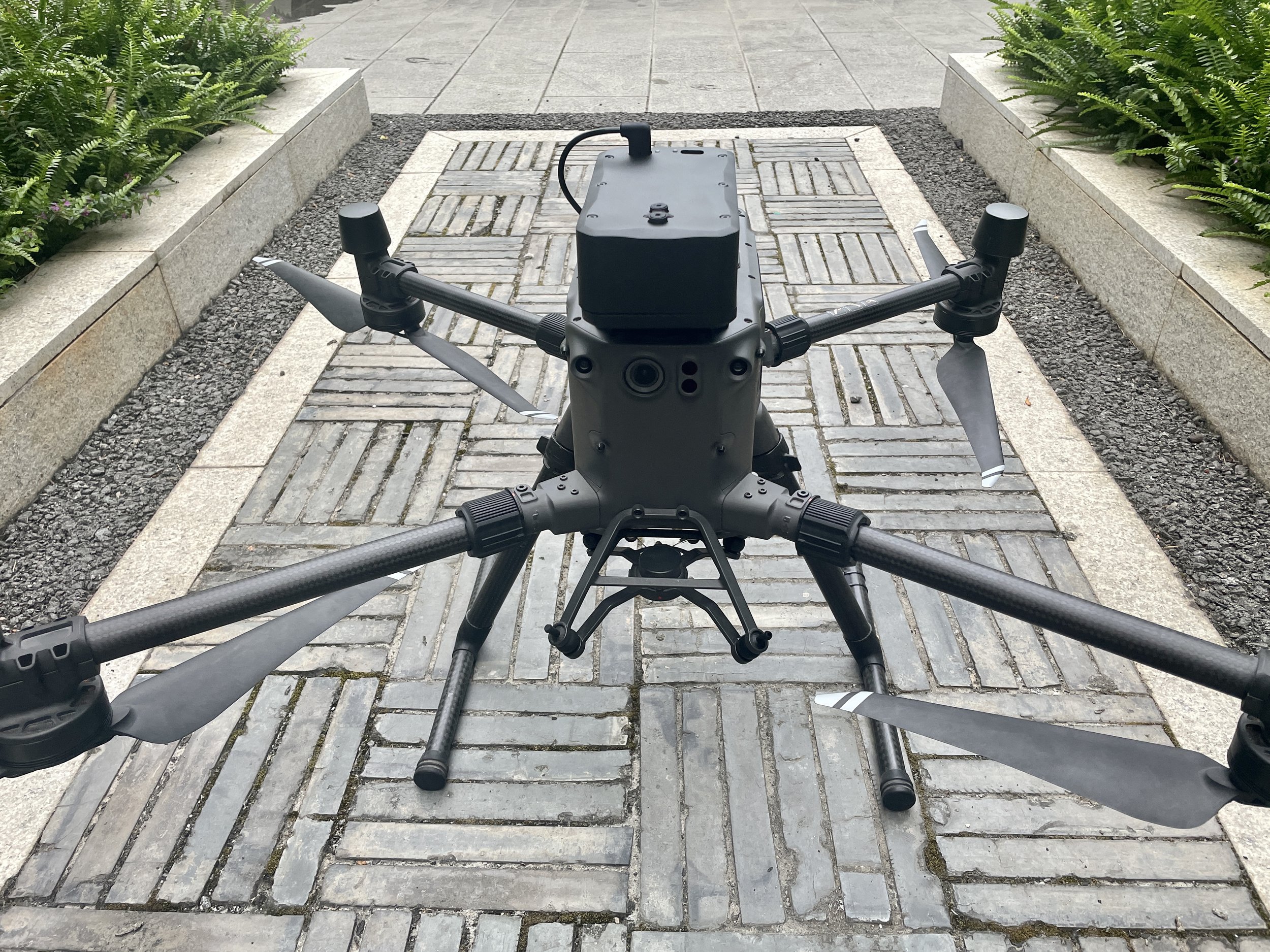
DJI M300 RTK Payload: Using DJI Matrice 300 RTK with Prophet sniffer payload to do Air Pollutants Monitoring.
Why Using Drone to do air monitoring?
As a practitioner in this field, our deepest experience, combined with our domestic and international applications, is that the application of enterprise drones in atmospheric environment monitoring can make up for the shortcomings and limitations of traditional monitoring methods and improve work efficiency. DJI Enterprise Drones are just a flying platform, but when used with gas detection pods and atmospheric data analysis software, they can do a lot for environmental Air Monitoring.
Prophet 5th Gen on DJI M300 RTK
1. Daily environmental law enforcement: At present, environmental law enforcement officers in the investigation of corporate emissions, mostly door-to-door knocking inspection, rely on equipment is also a handheld gas detector, which is extremely inefficient. But when using drones equipped with a pollutant detector, pollutant inspections of a park can be completed in a very short time. At the same time, the use of visual data analysis software can get a real-time pollutant distribution grid map (as follows), and ground personnel can be based on the positioning of pollution sources in the map immediately after the door-to-door inspection, to enhance the targeting and real-time enforcement.
2. Spatial distribution of pollutants data collection: Whether it is fixed-point monitoring equipment or commonly used portable equipment, the collection of data on pollutants is on a plane. The use of an enterprise drone platform can precisely collect the spatial distribution of pollutants (the following figure). At present, universities at home and abroad have already cooperated with us to conduct research on the law of vertical distribution of pollutants, and the specific research results will be updated after the release.
It must be said that the use of DJI enterprise drones to do atmospheric environmental air monitoring detection pods in the design and production must take into account the impact of electromagnetic interference, airflow interference, etc. on the accuracy of the detection results, otherwise, the data obtained is very inaccurate or even unusable.
Specific to the technology, the sensor components of the monitoring module detection methods are mainly electrochemical detection (measuring SO2, CO, NO2, and other conventional gases), photoelectric particle detection (measuring VOCs, etc.), and laser scattering detection (measuring PM2.5, PM10, etc.). Unlike traditional handheld or fixed detection equipment, UAVs fly very fast, so there are high requirements for detection pods in terms of response speed and stability. Moreover, electrochemical detection is theoretically susceptible to many factors (e.g. humidity, cross-reactivity, air pressure, gas flow rate, electromagnetic interference, etc.). Therefore, the technical difficulties in circuit design and algorithm design are still relatively large. Simply put, it is relatively simple to make a basic detection device, but it is difficult to make it perfect and reliable, which is also considered a technical barrier.
UAV Air Detecting Sensors
Some respondents also mentioned that the UAV under the wash airflow for the detection results of interference. First of all, the impact of airflow on the reading of the detection module has two main aspects
The airflow may affect the air pressure around the detection probe, thus affecting the electrochemical reaction rate and readings.
Airflow may affect the temperature and humidity around the detection probe, thus affecting the electrochemical reaction rate and readings.
In terms of structural design, we use high-performance brushless air pump detection to draw the ambient gas into the air pump to ensure that the flow rate of the detected surrounding air is in a relatively stable state when the UAV is flying at different speeds.


